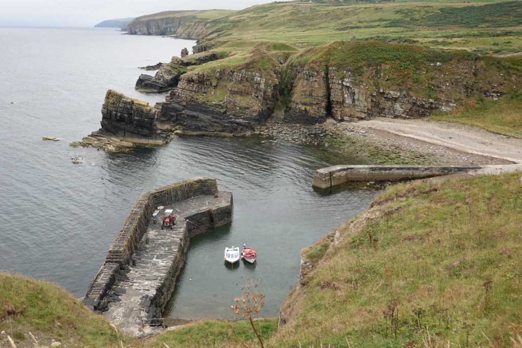
Dunbeath to Occumster, 17Km
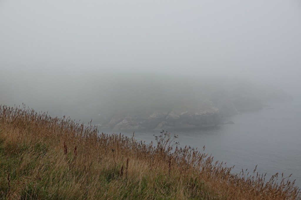
I was expecting these last four days on the John O’Groats trail to be difficult. I’ve read the warnings about the cliff top “path” with its sheer drops into the abyss, the overgrown vegetation (especially bracken, thistle and common nettle) and the steep rises and falls as the many burns are encountered. It certainly was a hard day. 14Km from Dunbeath to Lybster took me from 8.15 to 14.30. I then took a farm track to my B&B, The Antlers, in Occumster because a thick fog descended. That was fortunate because my B&B said the cliff path from Lybster is impassable.
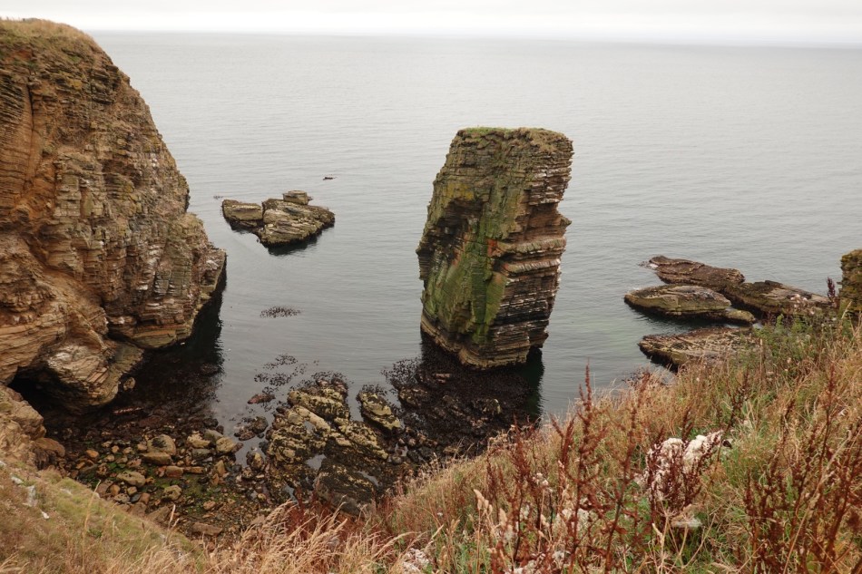
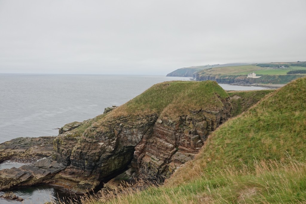
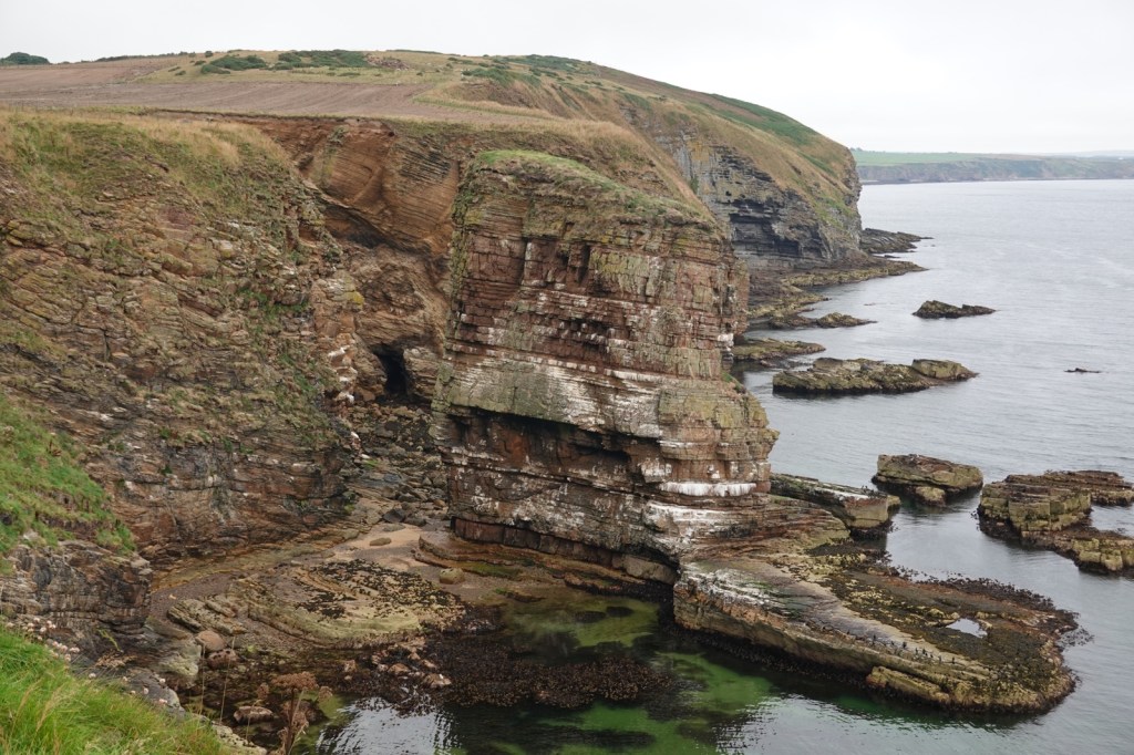
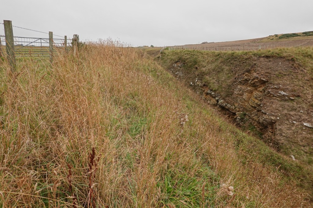
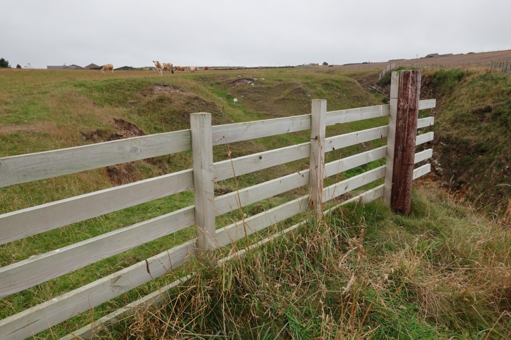
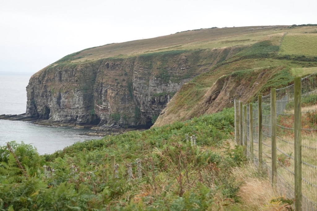
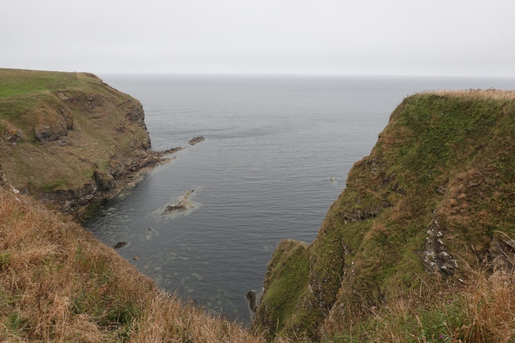
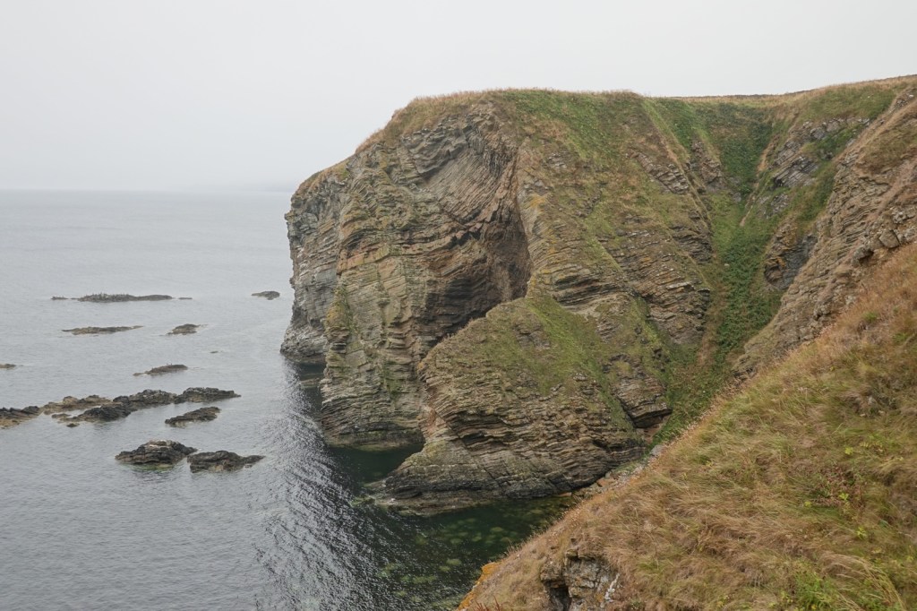
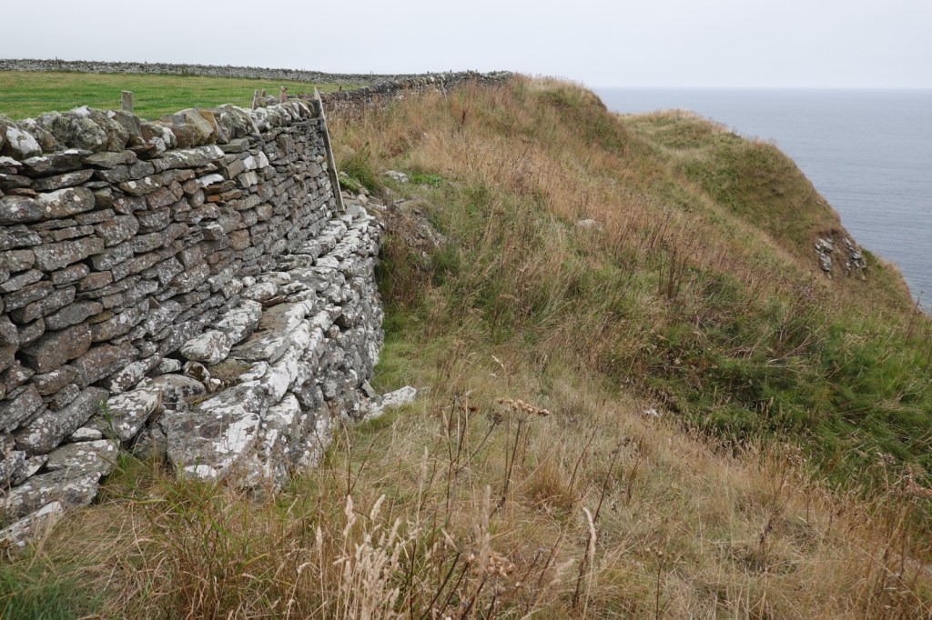
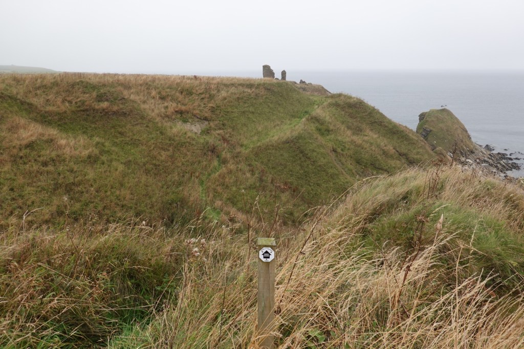
My walk started in Dunbeath Bay, one of many little fishing harbours and I headed up to the cliff tops. Immediately, the full splendour of the dramatic Caithness coastline appeared ahead of me. Giant cliffs, sea stacks, arches, inaccessible bays etc.. My route took me past pastures which run almost to the cliff edge and the farmers have built sturdy barbed wire fences to stop their livestock plunging over the edge. Walkers therefore follow the trail between these fences and the cliff edge and it isn’t terribly wide.
At Latheronwheel, I stopped for a coffee break, deploying my new Thermos for the first time. And then there was an endless section towards Lybster, clambering over barbed wire fences, styles and gates. Deep inlets called geos require large detours and descents to ford the burns.
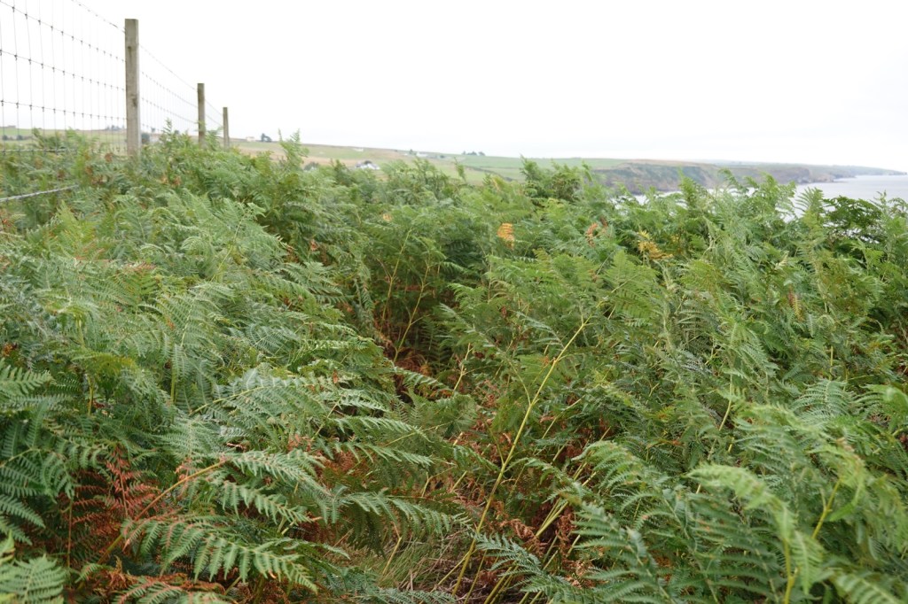
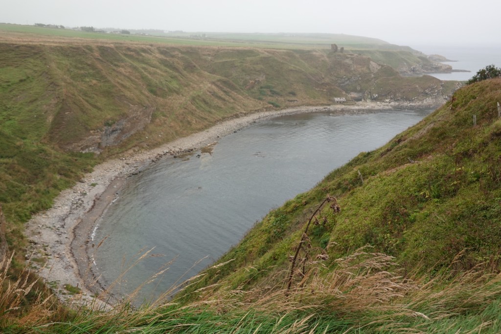
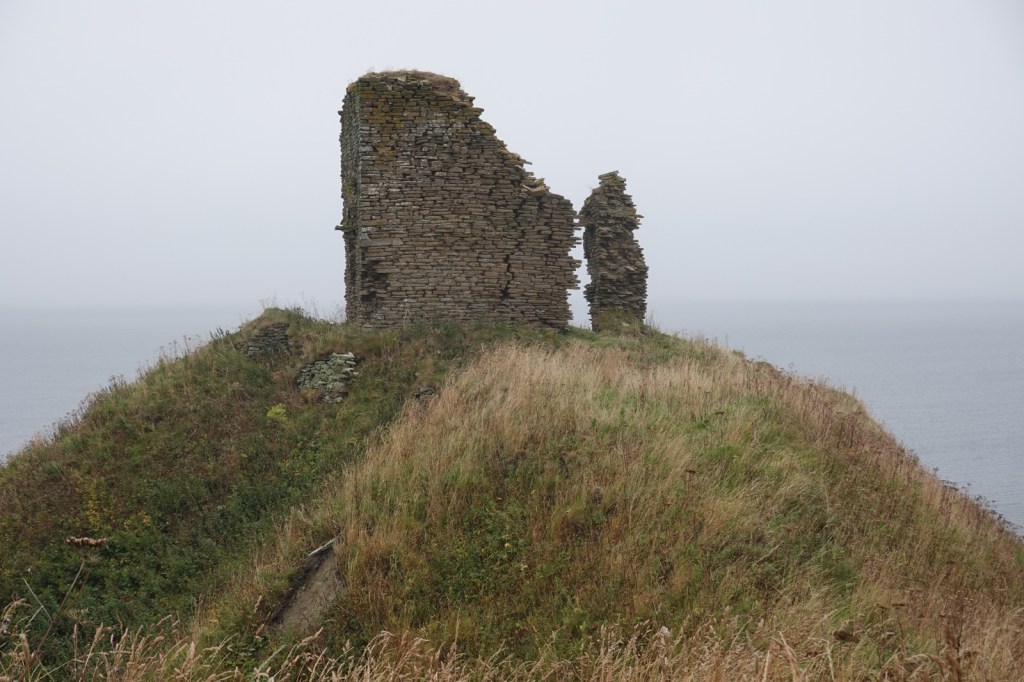
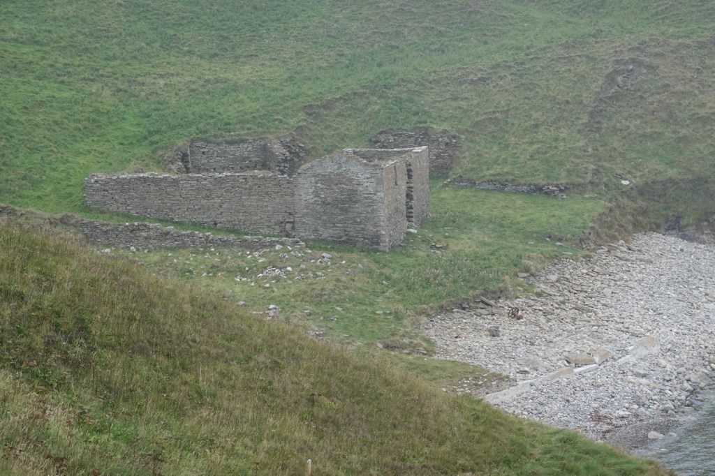
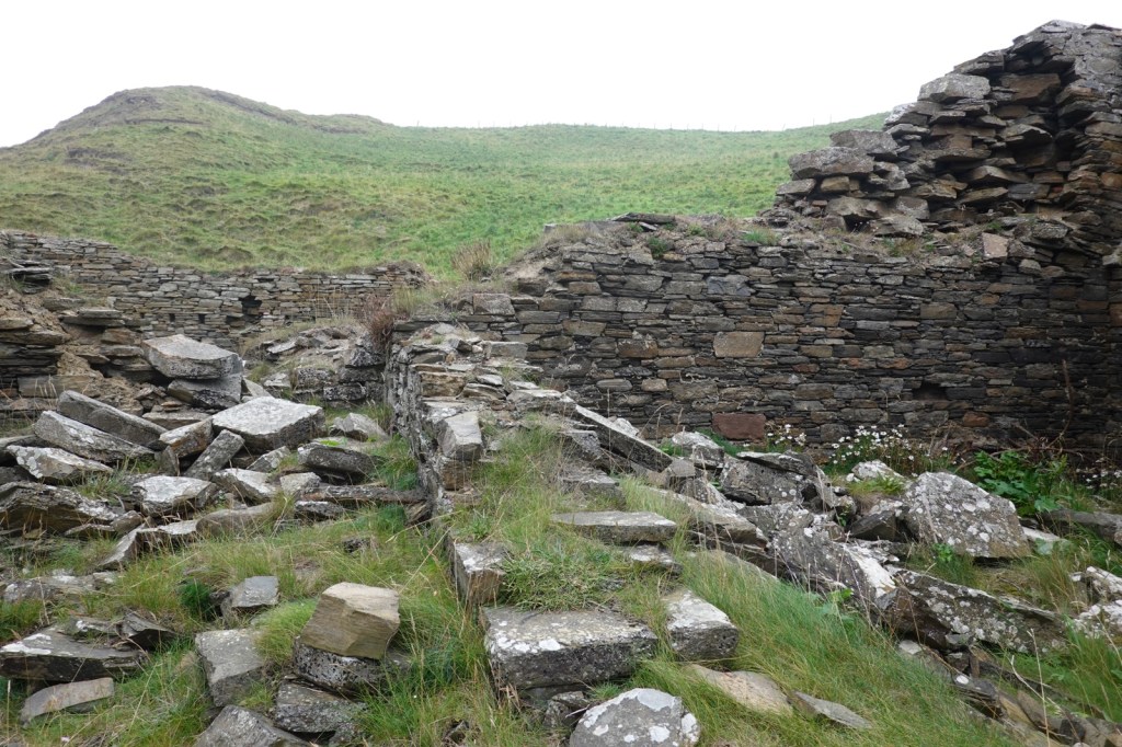
The biggest problem was the undergrowth which was chest high. I worked my way around Robbery Head, past the ruined Forse Castle and then descended to an old herring processing factory, a relic of the once thriving industry. After that I had to negotiate my way through a field of surprised cattle before finding a luxurious gravel path into Lybster. That’s when the fog really came down.
So now I’m trapped in The Antlers until tomorrow morning but that’s ok because the owner is cooking me dinner which will include part of one of her own cattle and a bottle of Stella Artois.


Aaaaarrggh. I think I’d risk the A9. I admire your resolution – and your ability to take photos while teetering on the edge.
You choose your poison. The A9 is scary but although the cliff tops sound and look scary, when you’re actually walking on them they’re not scary at all. I always felt safe
Some of the photos make it look scary, though! Enjoy your steak and lager.
Cheers I had two bottles
Wow Tim! That looks a challenge. How would anyone manage carrying a large backpack? However, the views look spectacular.
There were a few bits which would have been quite difficult with a big back pack but everyone manages. You just need to take more rests. Great views, make it all worthwhile
Fantastic photos, breathtaking scenery. Take care
It’s certainly a bit special up here
Your certainly earned the two, bottles after that challenge 🏃♂️🏃♂️🚶♂️🚶♂️
Yes I think I could have justified 3 bottles but I didn’t like to ask
Kia ora Tim, Like most photos yours probably don’t do justice to the fascinating and challenging topography. I’m impressed with your fortitude and laidback attitude to those challenges. Well done. Enjoy the remaining part of the trail.
Kia kaha, Vicky
Also I find photos from cliff tops always look far more scary than they really are. A photo can trigger some inner fear which isn’t really there
I walked along a nicely mown part of the trail today, leading up from Latheronwheel harbour.
I did that bit too. Very nice!